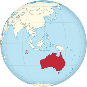
The Cocos (Keeling) Islands (Cocos Islands Malay: Pulu Kokos [Keeling]),are an Australian external territory in the Indian Ocean, comprising a small archipelago approximately midway between Australia and Sri Lanka and relatively close to the Indonesian island of Sumatra. The territory’s dual name (official since the islands‘ incorporation into Australia in 1955) reflects that the islands have historically been known as either the Cocos Islands or the Keeling Islands.
The territory consists of two atolls made up of 27 coral islands, of which only two – West Island and Home Island – are inhabited. The population of around 600 people consists mainly of Cocos Malays, who mostly practise Sunni Islam and speak a dialect of Malay as their first language. The territory is administered by the Australian federal government’s Department of Infrastructure, Transport, Regional Development, Communications and the Arts as an Australian external territory and together with Christmas Island (which is about 960 kilometres (600 mi) to the east) forms the Australian Indian Ocean Territories administrative grouping. However, the islanders do have a degree of self-government through the local shire council. Many public services – including health, education, and policing – are provided by the state of Western Australia, and Western Australian law applies except where the federal government has determined otherwise. The territory also uses Western Australian postcodes.


The islands were discovered in 1609 by the British sea captain William Keeling, but no settlement occurred until the early 19th century. One of the first settlers was John Clunies-Ross, a Scottish merchant; much of the island’s current population is descended from the Malay workers he brought in to work his copra plantation. The Clunies-Ross family ruled the islands as a private fiefdom for almost 150 years, with the head of the family usually recognised as resident magistrate. The British annexed the islands in 1857, and for the next century they were administered from either Ceylon or Singapore. The territory was transferred to Australia in 1955, although until 1979 virtually all of the territory’s real estate still belonged to the Clunies-Ross family.
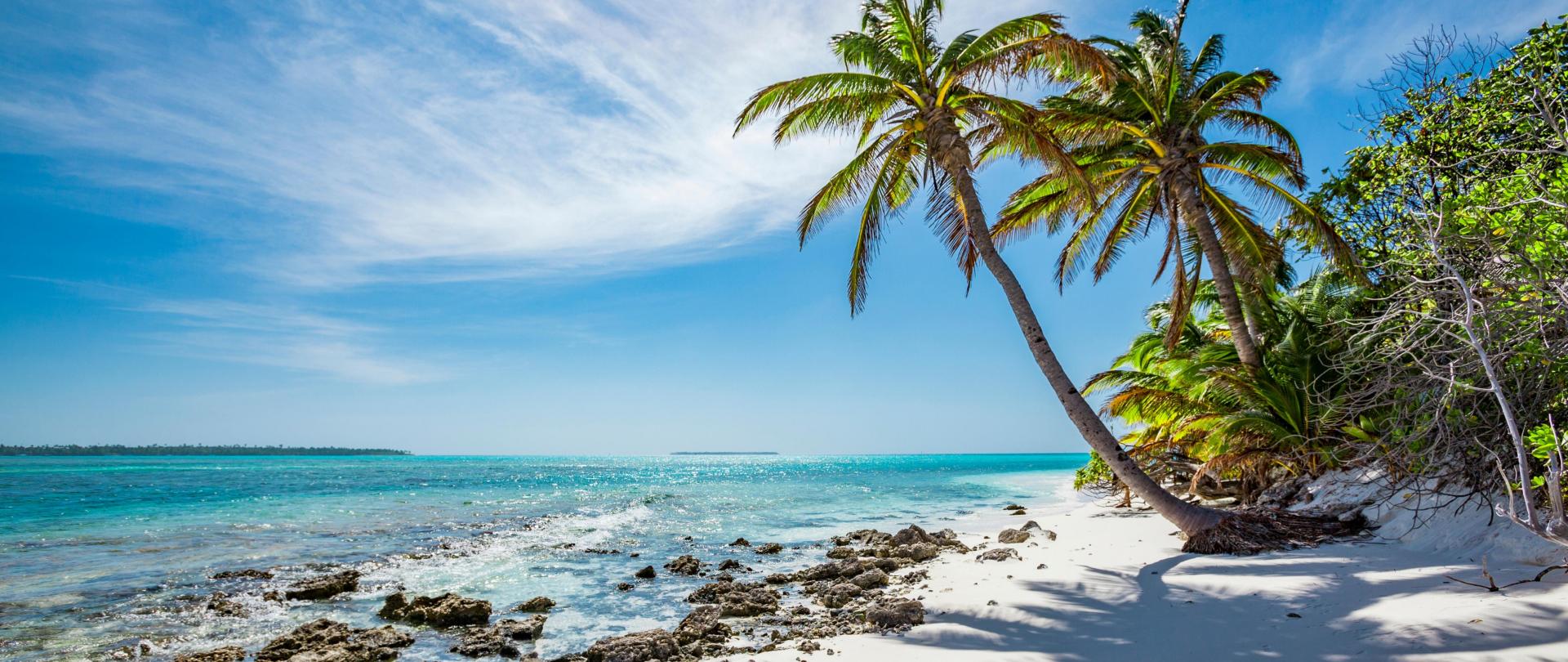
The Cocos (Keeling) Islands consist of two flat, low-lying coral atolls with an area of 14.2 square kilometres (5.5 sq mi), 26 kilometres (16 mi) of coastline, a highest elevation of 5 metres (16 ft) and thickly covered with coconut palms and other vegetation. The climate is pleasant, moderated by the southeast trade winds for about nine months of the year and with moderate rainfall. Tropical cyclones may occur in the early months of the year.
North Keeling Island is an atoll consisting of just one C-shaped island, a nearly closed atoll ring with a small opening into the lagoon, about 50 metres (160 ft) wide, on the east side. The island measures 1.1 square kilometres (270 acres) in land area and is uninhabited. The lagoon is about 0.5 square kilometres (120 acres). North Keeling Island and the surrounding sea to 1.5 km (0.93 mi) from shore form the Pulu Keeling National Park, established on 12 December 1995. It is home to the only surviving population of the endemic, and endangered, Cocos Buff-banded Rail.


South Keeling Islands is an atoll consisting of 24 individual islets forming an incomplete atoll ring, with a total land area of 13.1 square kilometres (5.1 sq mi). Only Home Island and West Island are populated. The Cocos Malays maintain weekend shacks, referred to as pondoks, on most of the larger islands.
Reefs near the islands have healthy coral and are home to several rare species of marine life. The region, along with the Christmas Island reefs, have been described as „Australia’s Galapagos Islands“.